Precision Data. Cinematic Storytelling.
Altus Air Northwest is everything aerial. Whether it’s promotional or industrial, we have you covered. We transform complex aerial and ground data into actionable intelligence. Leveraging the latest drone technology, we deliver the precision imaging and insights you need to make smarter, more profitable decisions.
WHY WE EXIST
Locally Rooted. Mission-Driven
Altus Air Northwest was founded with one primary goal in mind: To provide real value for our clients by focusing on custom solutions that make sense. We help local businesses by making advanced aerial and ground technology affordable and accessible. Our foundation is built on safety, professionalism, and delivering premium results without the premium price tag.

Industries We Serve
-
Progress Monitoring & Reporting
Digital Surface & Terrain Modeling
Site Modeling & Digital Twins
Asset Documentation & Inspection
Compliance Reporting
-
RGB Crop Health Monitoring
Stand Count & Yield Estimation
Livestock Counting & Recovery
Irrigation Planning & Mapping
Field Boundaries & Compliance Documentation
Ask about spraying services!
-
High-Resolution Edited Imagery & Videos
3D Exterior Digital Twins
Floor Plans & Ground Area Measurements
On-Site Property Investigation
Investment Presentation Media
-
Highly Detailed 3D Models & Digital Twins
High-Resolution Imagery & Video Documentation
Infrastructure & Roof Inspections
Property Condition & Detailed Damage Reports
What We Do
We go beyond basic data. At Altus Air Northwest, we transform complex site data into easy-to-understand visual intelligence. Our Insight Reports are built for decision-makers and designed to cut through the noise.
-
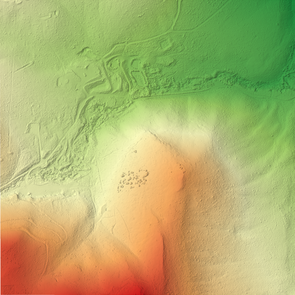
Gain unparalleled clarity with our georeferenced orthomosaic maps, offering pixel-perfect detail of your entire site. Combined with Digital Surface Models (DSMs), we provide precise spatial data, essential for site analysis, planning, and progress monitoring. See every detail, understand every contour.
-
Visualize your projects in immersive 3D environments. Our 3D models offer a complete, interactive perspective for design validation, stakeholder presentations, and virtual walk-throughs.
-
Data is only powerful when it leads to action. Our Insight Reports go beyond raw numbers, highlighting critical issues, identifying potential risks, and offering clear, data-backed recommendations. We help you proactively address challenges, optimize workflows, and make informed decisions that save time and resources.
Interactive 3D Model of the Rattlesnake Hills in Yakima County
How We Do It
-
We start with a free consultation and site survey to define your project goals. From there, we establish a flight plan, provide a detailed estimate, and prepare the client contract.
-
Our fully licensed and insured team schedules and performs the aerial and ground data capture at the agreed-upon date & time. We are able to work independently and do not need someone on site unless it is gated or locked.
-
Your data is processed and reports are finished with a fast 2–5 day turnaround (depending on the scope of the job). The result is CAD-ready files that import seamlessly into most spatial editing software suites. Raw data is always available upon request.
-
We deliver your final files through a secure cloud link for easy download. We require no deposit and stand behind our work with a full satisfaction guarantee, or your money back!
PORTFOLIO
What people are saying

Contact us.
dustin.sandlin@altusairnw.com
(206)495-2162
FAA licensed & fully insured.


